
Did Sigeric the Serious (what a way to be known by later folk!) have an ancient equivalent to Google maps? Nope!
How did he get to Rome?
We know that he stopped at 80 locations. Based on these 80 locations, he walked probably between twelve and twenty miles a day depending upon the terrain.
But where did he walk? Roman roads, yes. Because the Romans built over 50,000 miles of roads, we know that his “sandals hit the road (Roman)” literally. Although the main French Roman roads were in the south connecting Rome with Spain, or roads using the Eastern central city Lyon as a hub, Sigeric used some of the roads constructed to forge Britain and northern France with the Empire. These roads generally linked towns and cities. In fact, in two days, I’ll be in Langres where twelve Roman roads converged linking Andemantunum as Langres was called then, with other important towns.
Yet, Sigeric stayed at monasteries or hospices, not necessarily in the towns. Many of the medieval monasteries, such as Clairvaux, were intentionally built in the “wilderness” away from the distractions of populated areas. We can assume that he took local paths connecting these locations. Local paths used more frequently by traders now that the threats of the Norsemen was beginning to recede (they laid siege to Paris in 845). Were there helpful signs? Nope. How many people could read back then? Could he ask others for directions? Well, who is the worst person to ask for directions? A local! How do you get to the Braves stadium? How do you greet to the Fox Theater? How do you get to the Dekalb Farmers Market? Be ready to ask more than one local! If you want to get helpful directions, maybe four or five? So, again how did he get to Rome?
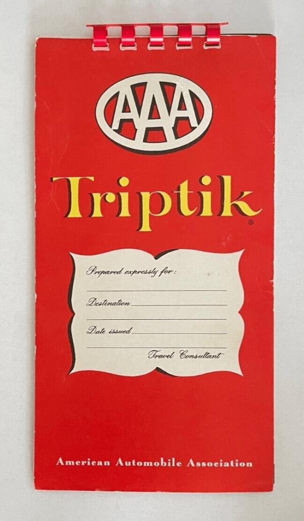
We know that he didn’t have AAA to help. My parents used AAA maps and their TripTik. When Dad an Mom took Chuck and I on a trip, the navigator Mom always told Dad where to go. She had a Triptik, a AAA spiral route mapset which AAA prepared especially for trips, as long as one gave them sufficient notice. Or, she used the AAA state or regional maps where the route would be highlighted in yellow. A trip without an always reliable AAA map? Never!
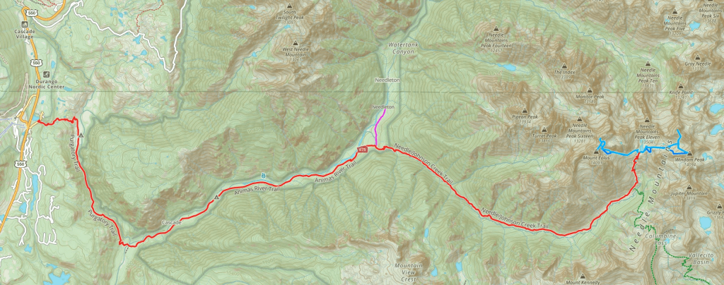
So, I grew into maps. If I hiked, I also always had maps. The green topographical maps of Colorado’s San Juan mountains. The National Park Service maps, once free, of the Smokey Mountains National Park. And, as I mentioned, google maps or various trail apps are simply amazing. Ms Antonia (my google lady friend) knows if I’m twenty feet off my expected path.
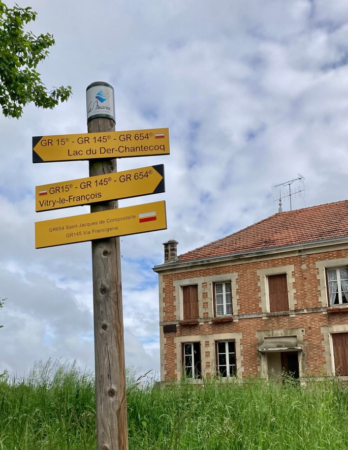
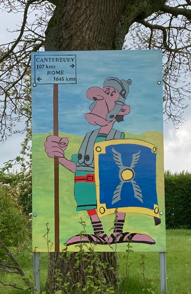
Even without AAA maps, or topographical trail maps, or google or other apps, we can gain a sense of location, route, and destination by road signs and advertising signs. Reims- 50 km. “Supermarche 1.5 kilometers ahead”.
Of course, for many of our walks we don’t need maps. A walk to a neighbor’s home. A walk to the Oak Grove Market. A walk to OakGrove Methodist Church. Places so familiar that our feet already have the route mapped out.
How did Sigeric the Serious get to Rome? We may never know, but he has earned my respect. Besides having a good bit of courage and perseverance, he must have had some good, intuitive, common sense. After 30 days of walking, I’ll definitely give him some respect!

The kilometers are not right, but somebody was trying to help us hikers.


Don’t think about going this way.